
 |
|
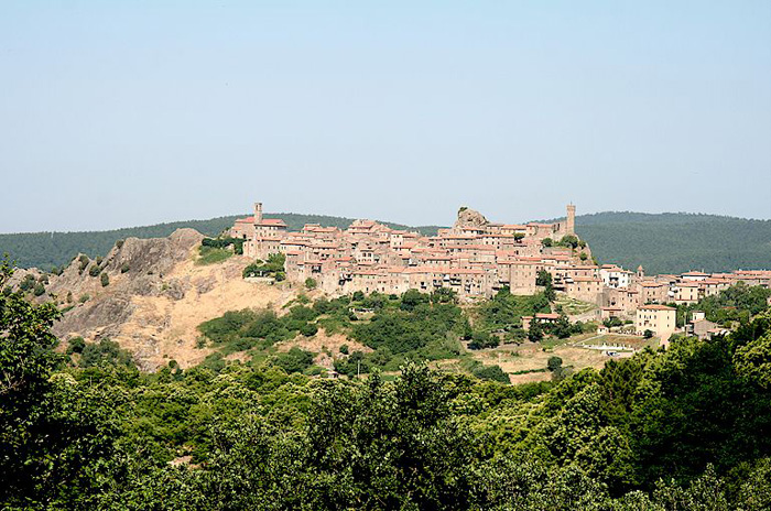
Roccatederighi |
|
Itinerary Torniella - Sassofortino or Roccatederighi
|
The territory of Roccastrada is surrounded by protected nature reserves, including La Pietra nature reserve . |
Il percorso |
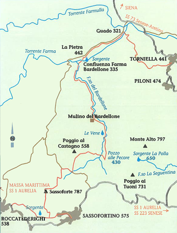 |
Map Torniella Regoni
|
On leaving Torniella, after having gone through a chestnut tree wood we get to an old farm called "La Pieve". Walking on the road that goes down through a turkey oaks wood, we reach the Farma and we have to cross. If it ha recently rained and the water level is too high, we can walk along the fields’ edges and through a hundred metres of wood and then get to the bridge of the road no 73, Senese-Aretina. To get back to our itinerary, left the bridge we walk on for about 1 km where we turn left on a unpaved road; onthe right there is a farm called Santa Sicutera. After about 300 metres the road wades the Farmulla torrent and after other 300 hundred metres, we find the path, fording height, at the opposite side of the torrent's bank. Keeping left, walking on the unpaved road, we get to a small disused jasper quarry, just below a rock spur called "La Pietra", which gives the name to a small Natural Reserve between the Farma and Farmulla torrents, from here we get a wonderful view of the Bardellone valley and Monte Alto. We can admire a large wooded area ,which gives the best of itself in autumn thanks to the colours of the leaves :it is a vast area characterised by heterogeneous coppice wood, thick and intricate under wood of shrubs, a perfect environment for wild boar , which is widely hunted here. Hunting is practised during winter. Sometimes hunters get involved in shooting accidents but dogs are more at risk: they very often get attacked by wild animals and get seriously wounded.
|
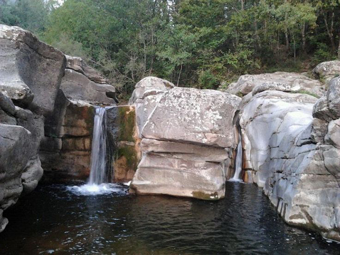
| The river Farma and the falls |
 |
Watefall i Canaloni
|
| “La Pietra” Nature Reserve
The Farma and Farmulla streams mark the boundaries of the “La Pietra” nature reserve whose name is derived from the rocky spur found at 440 m. The reserve was opened in 1996 and covers an area of nearly 500 hectares. It boasts a large number of plant species including willow, black alder, and black and white poplars. You will also find unique vegetation including the southernmost example of the “Lupino Grecom (a plant not included in the Italian flora until 1989); Genista sagittalis which only lives above 1000 m; and the red lily—a rare species due to lack of past controls on harvesting. How to get there
|
I Canaloni del Torrente Farma
|
|
|
||||
[1] Source: Breve Guida Trekking Roccastrada | www.comune.roccastrada.gr.it [2] Source: www.turismo.intoscana.it |
||||
|
||||
 |
 |
 |
||
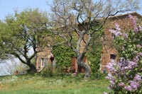
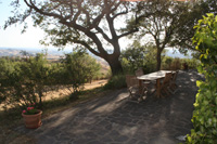
Podere Santa Pia |
Podere Santa Pia |
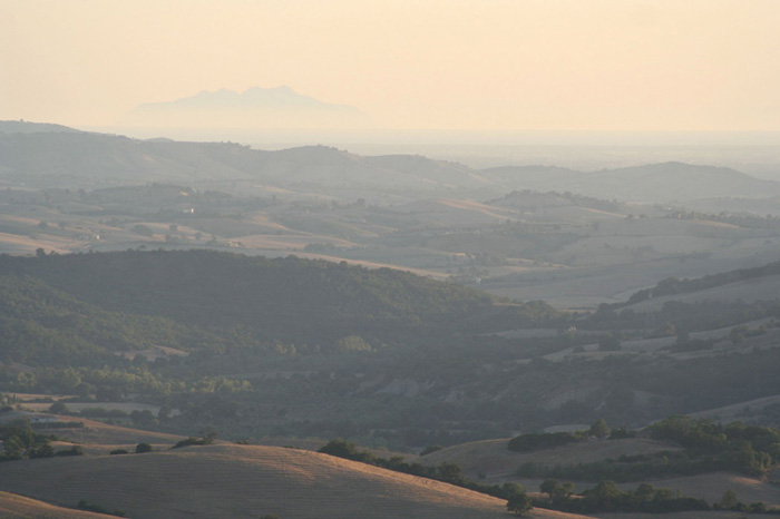
Century-old olive trees, between Podere Santa Pia and Cinigiano
|
||
 |
||||
Podere Santa Pia, con una vista indimenticabile sulla Maremma Toscana |
||||