
 |
Podere Santa Pia, situated in a particularly scenic valley, which overlooks on the hills of the Ombrone Valley
|
Valle dell'Ombrone |
The river Ombrone makes its way through the southern part of the Chianti hills and the area of Crete in the province of Siena and then extends in to the province of Grosseto via the Ombrone hills.
|
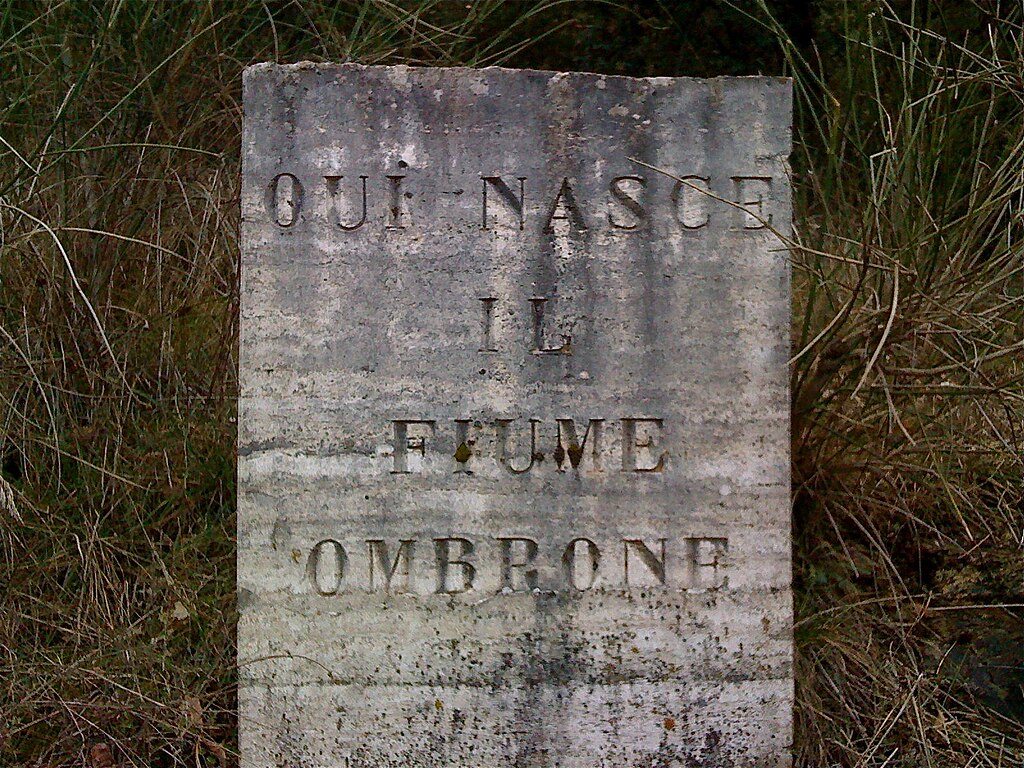 |
Cippo posto alla nascita del fiume Ombrone- San Gusmè- Siena[3]
|
The Arbia is a small stream which rises a few miles south of Siena and rows into the Ombrone river at Buonconvento. On its left bank is the hill of Montaperti, where the Ghibellines overwhelmingly defeated the FIorentine Guelphs in 1260.
|
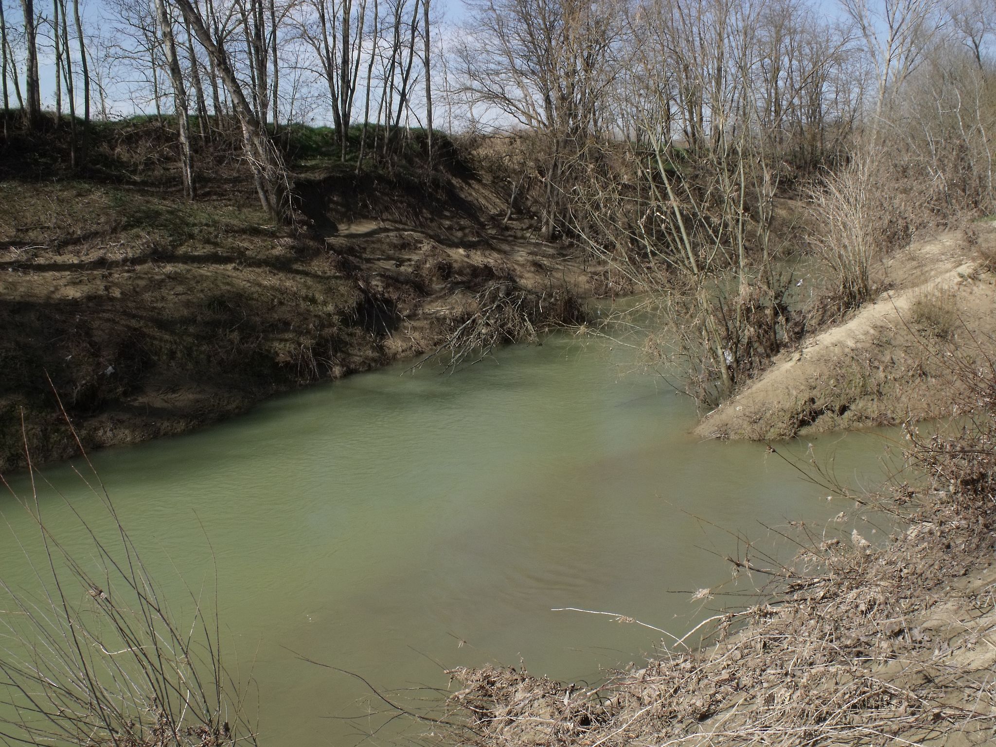 |
Confluence of the Arbia (left) and the Ombrone (right) south of Buonconvento, Province of Siena[1]
|
The Ombrone river marks the border with Montalcino (SI) and then continues through the districts of Civitella, Paganico, Cinigiano, Campagnatico, and Grosseto, before running into the Tyrrhenian sea at Bocca d’Ombrone.
|
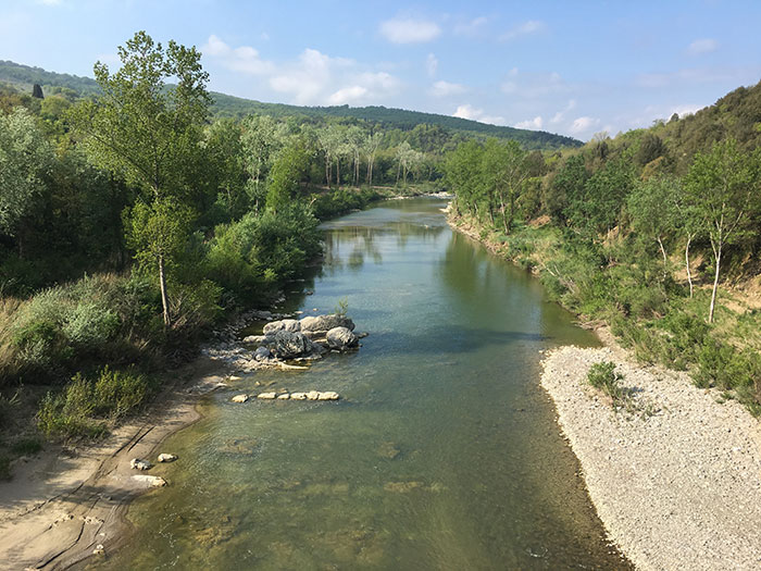 |
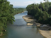
The Ombrone river, near Sasso d'Ombrone
|
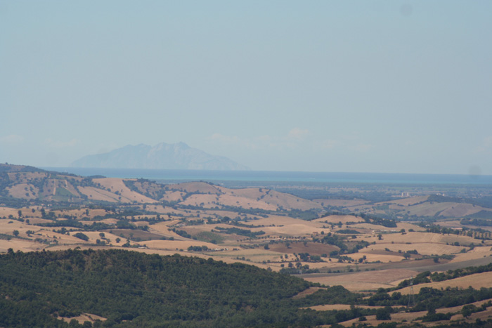
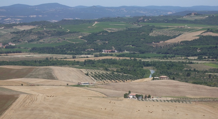
The landscape alternates between river vegetation, woods and vast areas of cypress trees and cork oaks which shade the roads and separate the various farmhouses. East of Cinigiano , the first signs of chestnut trees appear below Mount Amiata. In its last phases before the mouth of the river, the Ombrone passes over the huge plain of Grosseto in the heart of the Maremma.
|
 |
Foce dell’Ombrone (Mouth of the Ombrone River) from Principina del Mare [1]
|
A hike to the source of the Ombrone river, near Castelnuovo Berardenga. |
Length of journey: 4.5 km Enjoy forests, cypress and juniper plants as you take a walk to the source of the Ombrone River. From the small village of San Gusmè (465m slope), descend along the road to Castelnuovo Berardenga. Once you reach the intersection on State Road n.484, turn right toward Villa a Sesta. After a few hundred meters, you’ll pass a bridge. Take the road on the right that goes uphill into the oak forest. The road continues upward until you reach a clearing, where there are many broom plants. The path veers slightly to the left and goes uphill into the forest. The climb becomes gradually steeper until you reach a ridge trail. Continue along that path, turning right, heading toward the road to Podere Sestaccia. The tour continues to the right until you reach the paved road to Campi (646m slope). Just off the paved road, go right to the road that leads uphill to the little village of Campi. From the village church, you’ll go down among the cypress trees. After a few dozen meters, you’ll find the inscription that indicates where the Ombrone river begins. The tour continues down along the asphalt road until you reach the village of San Gusmè. The Ombrone delta
|
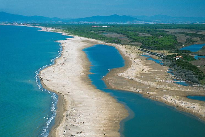 |
Where the river Ombrone meets the Tirrenian Sea. It is reachable by walking 2 km from Marina di Alberese, along the beach. The walk is a photographer's dream, as the coastline is filled with large debris and sun-bleached logs.
|
|
Natural Beach of Alberese[2]
|

|
|
||||
 |
 |
 |
||
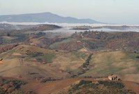
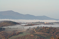
Paesaggio della Valle dell'Ombronee il Castello Colle Massari
|
Castello Colle Massari | Paesaggio della Valle dell'Ombrone, la parte terminale della Val d'Orcia tra le province di Grosseto e Siena
|
||
 |
 |
 |
||
Il fiume Ombrone nei pressi della frazione di Arcille
|
Fiume Ombrone nei pressi di Monte Antico | Il fiume Ombrone nei pressi della frazione di Sasso d'Ombrone
|
||
 |
||||
Torre della Trapola near Principina di Grosseto [2]
|
||||
[1] Photo by LigaDue, licensed, licenziato in base ai termini della licenza Creative Commons Attribuzione 3.0 Unported Wikimedia Commons contiene immagini o altri file su Ombrone
Maps
|
||||
 |
 |
 |
||
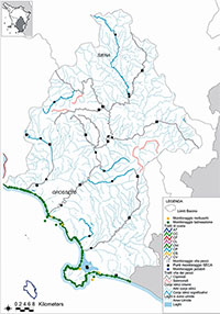
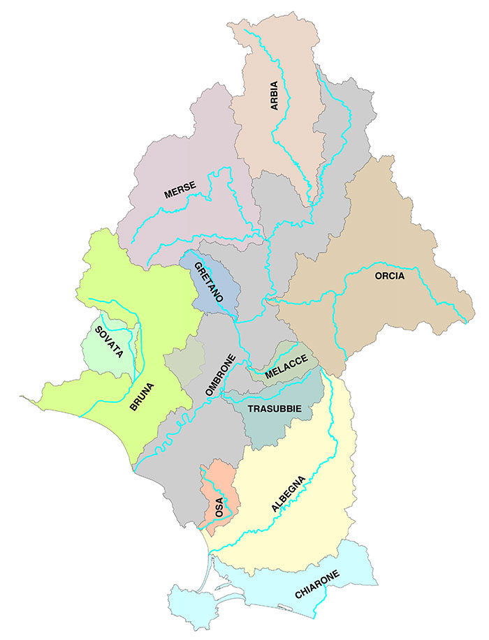
| Bacini idrografici del fiume Ombrone | Bacini idrografici del fiume Ombrone nella provincia di Siena, con gli affluenti Arbia, Merse, Lanzo, Gretano, Trassubbie e Melacce,
|
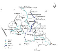
Toscana, bacini idrografici | ||
|
||||
L'Ombrone, view from Sasso d'Ombrone [Foto di @birbanna]
|
||||