
 |
|
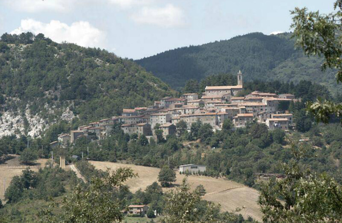
| N L | Gerfalco |
Gerfalco |
| The territory of Gerfalco has always been criss-crossed by a dense network of country lanes and pathways that in the past were vital communication routes between the urban centres and places of work and trade. The abandonment of agriculture and the closure of the mines have led to an inexorable loss of pathways. For lots of years many tracks have been covered by thick vegetation. It is only during recent years that several of them have been cleaned and an extended network of trails has been created for hikers.
Most of the treks follow easy to walk trails, some on gravel road, some through thick vegetation and some over fields and through woods without proper paths. |
|
|
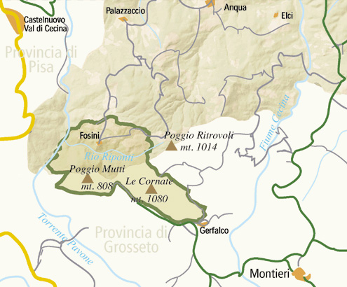
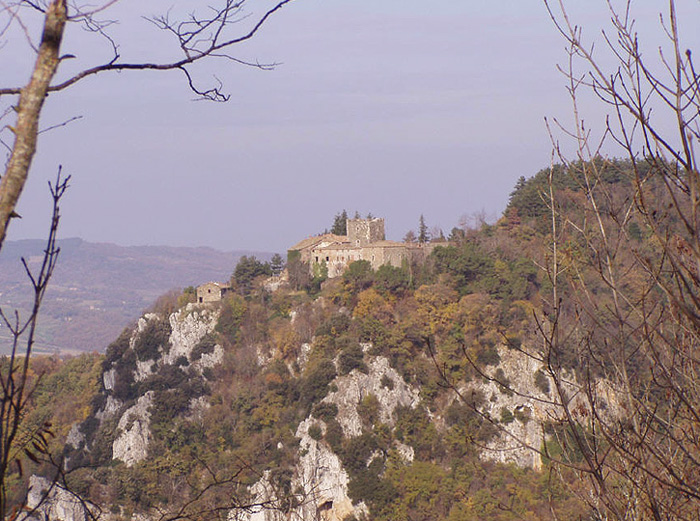
The Castle of Fosini is officially located in the municipality of Radicondoli (Province of Sienna) but geographically it is in a part of the territory of Castelnuovo Val di Cecina (Province of Pisa), being situated at the source of the Pavone stream opposite the Cornata di Gerfalco. The castle has a square keep surrounding a central courtyard. The walls to the south and west, which are largely in ruins, are unrefined structures of stone and brick. The whole area is a part of the nature reserve of the Cornate (crags) and the Castle. The presence of perpendicular cliffs provides an ideal nesting environment for birds of prey including the peregrine falcon and the lanner falcon.
|
||
 |
||||
|
||||
Around the Poggio di Montieri |
||||
|
||||
Montieri | Natura intatta e borghi di pietra
|
||||
|
||||
|
||||
|
|
||||
 |
 |
 |
||
Vista da la Rocca di Campiglia Marittima a le Colline Metallifere
|
Roccatederighi | Panorama Roccastrada | ||
 |
 |
 |
||
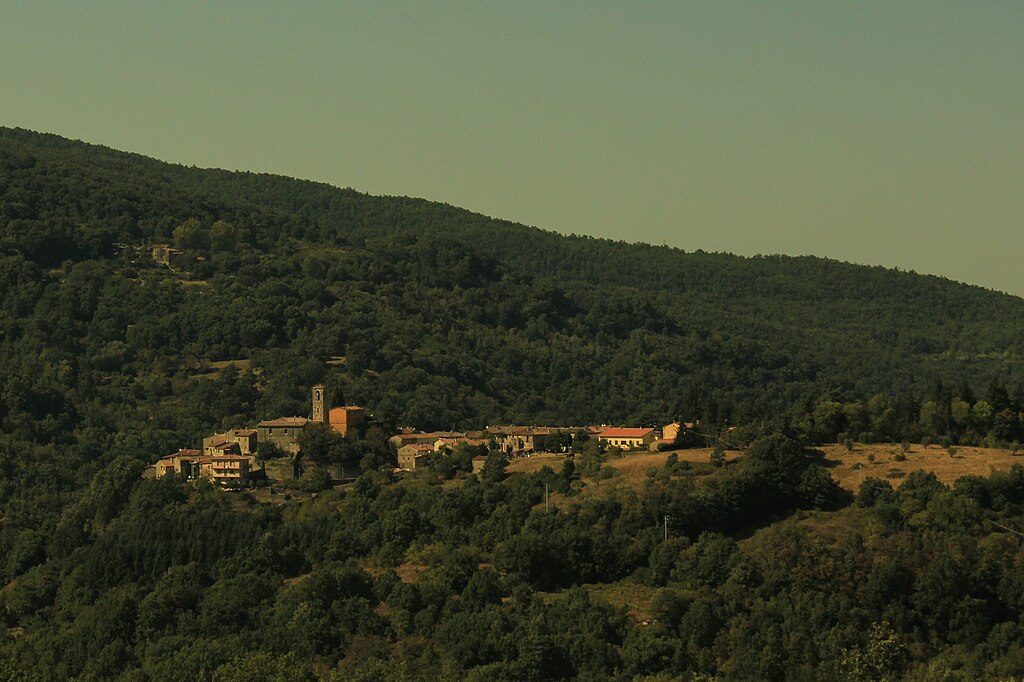
| Panorama di Gerfalco | Le Roste
|
Sassofortino panorama | ||