
 |
|
| I T
|
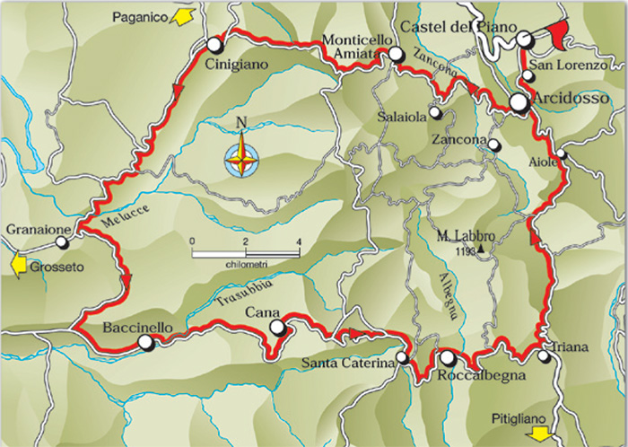
From Amiata to the Plain and Back (GR8) |
|

Galleria fotografica Monte Amiata |
||||
 |
 |
 |
||
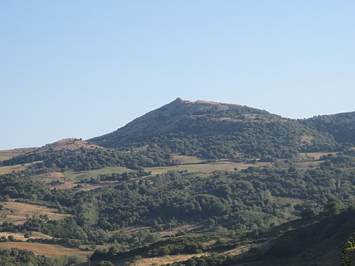
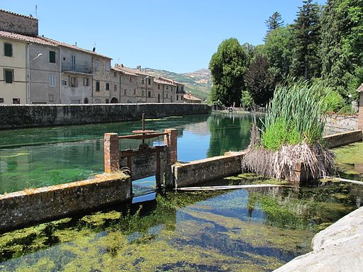
| Monte Labbro | La Peschiera di Santa Fiora
|
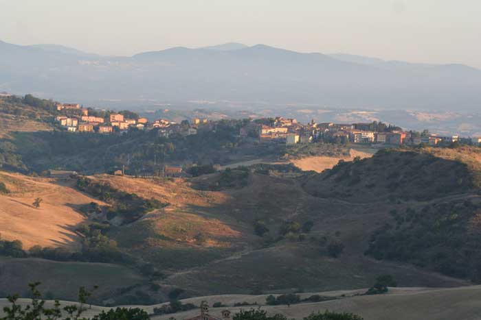
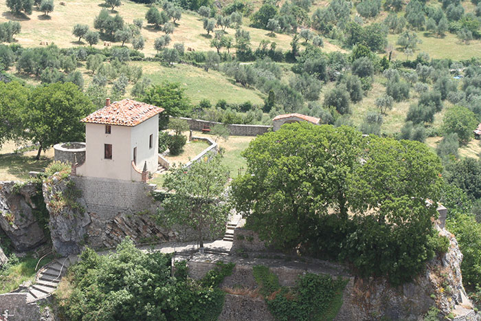
Castel del Piano | ||
 |
 |
 |
||
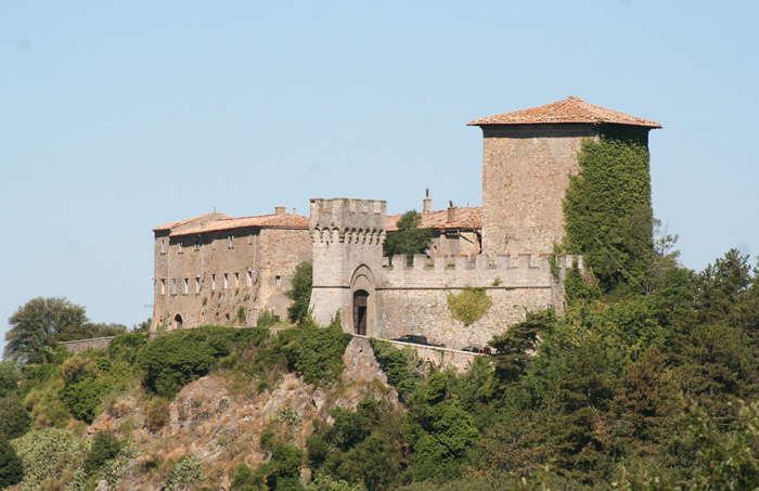
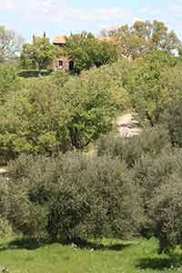
| Podere Santa Pia | Pieve di Santa Maria ad Làmulas, Montelaterone | La Rocca aldobrandesca di Arcidosso | ||
 |
 |
 |
||
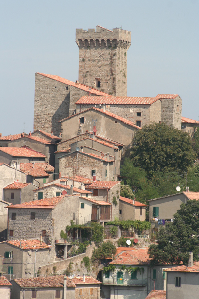
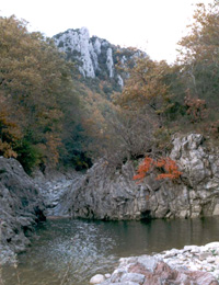
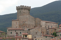
| ROCCALBEGNA, Il Cassero Senese | Albegna
|
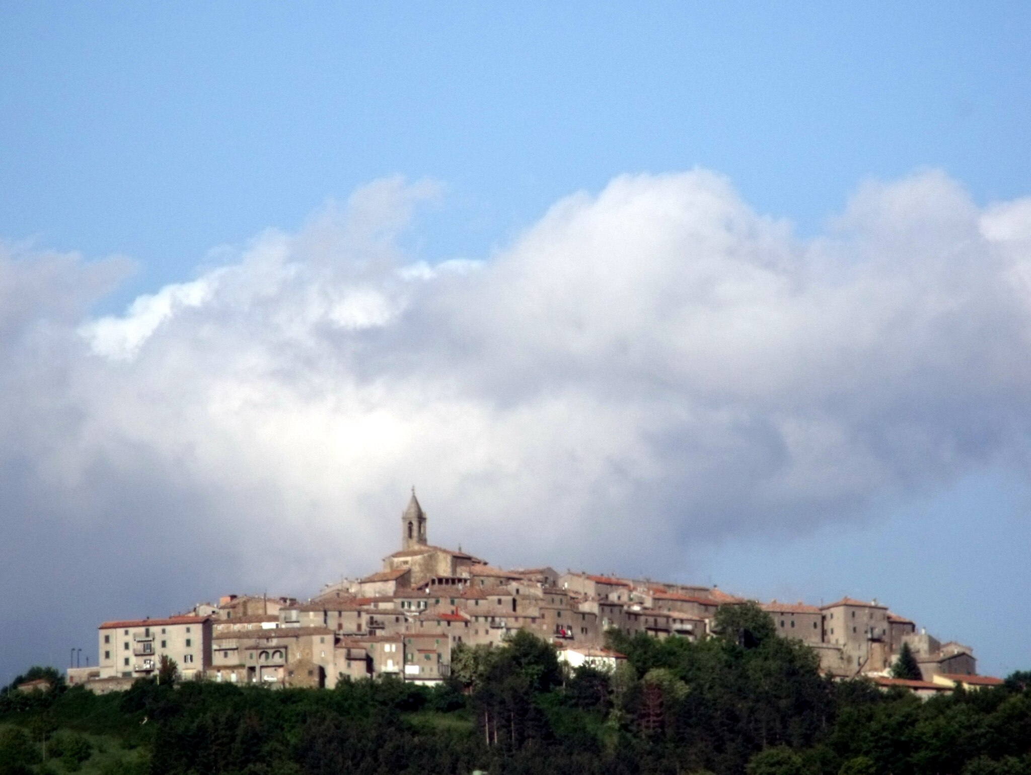
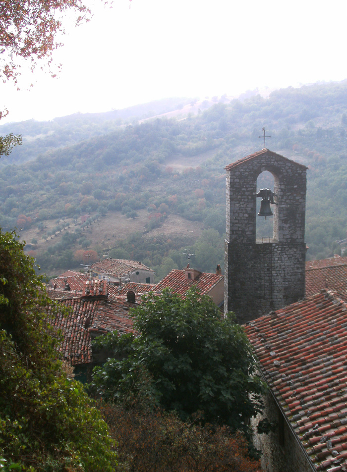
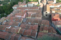
Roccalbegna | ||
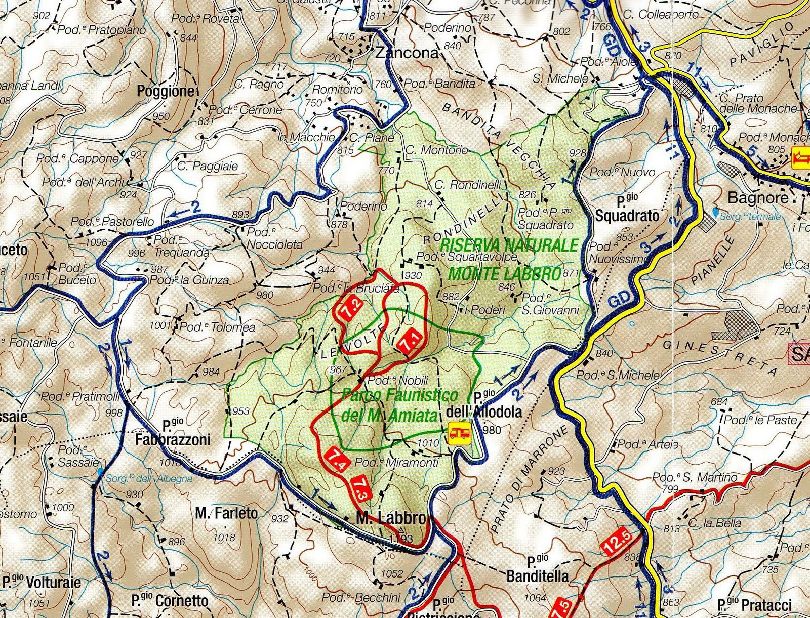
Monte Labbro mappa | Visualizza Riserva Naturale Monte Labbro - Provincia di Grosseto
|
||||
|
||||
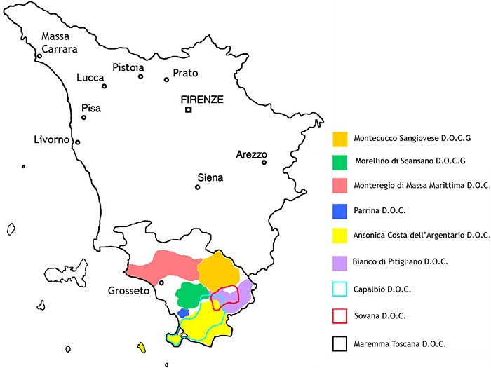
Pdf | Download the map of the Strada del vino Montecucco Strada del vino Montecucco Itineraries (it) Wines in Tuscany | The biological wine in Tuscany Map of Organic or biological wine in southern Tuscany Tuscany Wine Architecture cellars tour | An itinerary along famous wineries, designed by leading masters of architecture such as Renzo Piano, Tobia Scarpa, Marco Casamonti and Mario Botta. Member companies of the DOC Montecucco Cycling in Tuscany | Cycling tours in Southern Tuscany Cicloturismo in Maremma | La via del Montecucco Trekking sul Monte Amiata: percorsi a piedi | Riserva Regionale Bosco Rocconi Arcidosso | Parco Faunistico | La Riserva naturale del Monte Labbro
|
|
|||
|
||||
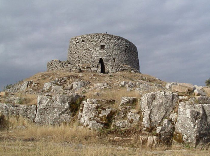
Monte Labbro. On top, to accolgiere visitors are the remains of Giurisdavidic, dating froend of '800 and the wide panoramic views over the Amiata and the Tyrrhenian side over the Arcipelagop Toscano up to Corsica. [2]
|
||||
Nature Reserve Monte Labro and the Parco Faunistico del Monte AmiataMonte Labbro (or Labro) is located on the south-west part of Mount Amiata and it extends for over 650 hectares. The entire area is mid-mountain, with rocky peaks reaching1,190 meters. The tree line is poor, in some limited areas are oaks, chestnuts, elms, hazels and maples and the Etruscan violets. Many wildlife species: wild cat, skunk, marten, martens and badgers. Among the hawks is possible to observe the harrier, honey buzzard, buzzards, harriers and the Lanner. A must see :some buildings of historical importance dating back to the movement giurisdavidico of David Lazzaretti. Within the Monte Labbro Natural Reserve there has been for a long time an animal park, run by Comunità Montana.The park covers 120 hectares and is defined a German model “Wild Park”. Among the guests deer, fallow deer, wild sheep and some species of chamois and roe deer. One can even spot the Apennine wolf.
|
||||
 |
||||
|
||||
 |
 |
|||
| Eremo David Lazzarett, Monte Labbro | Arcidosso
|
Roccalbegna |
||
 |
||||
| Canis lupus laying |
||||
|
||||
| [6] Questo articolo è parzialmente basato sugli articoli Cinigiano e Triana, Roccalbegna dell' enciclopedia Wikipedia ed è rilasciato sotto i termini della GNU Free Documentation License. |
||||
