 |
|
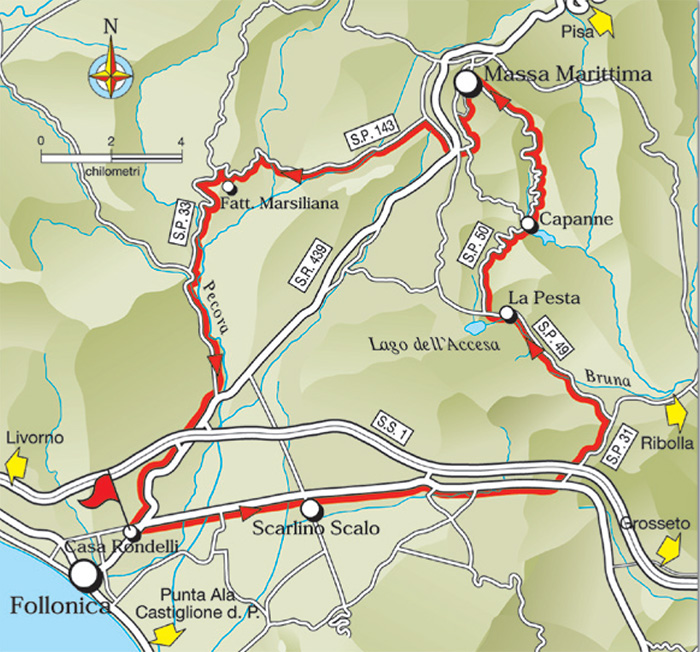
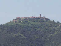
The Ring of Massa Marittima (GR2) |
|
|
ANELLO di MASSA MARiTTiMA (GR2)
|
 |
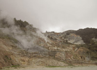
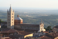
Panorama of Scarlino [2]
|
 |
 |
|||
Monterotondo Marittimo |
Lago dell'Accesa | a | Vetulonia | |
|
||||
|
||||
 |
 |
|||
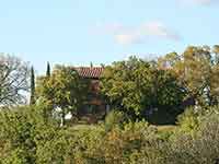
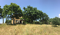
Podere Santa Pia |
Podere Santa Pia |
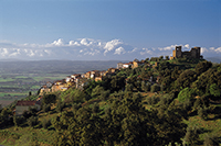
Scarlino | ||
 |
 |
 |
||
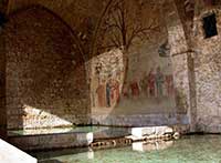
| Massa Marittima, Fonti dell’Abbondanza | Balestro Girifalco | Massa Marittima
|
||
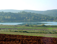
Parco archeologico del Lago dell'Accesa
|
||||
Il lago dell'Accesa (ant.te Lacus Lacchise), con il suo Parco degli Etruschi, costituisce un habitat quasi inatteso al visitatore, un meraviglioso specchio d'acqua. Il Parco archeologico del Lago dell'Accesa è un'area archeologica situata in località La Pesta, nei pressi del lago dell'Accesa.
|
||||
|
||||
The archaeological site around the lake Lago dell'Accesa is located in the municipal area of Massa Marittima at a distance of about 7km from the town along the Provincial Road No. 49 in locality of La Pesta. The ancient settlement, still only partially investigated, extends over several tens of hectares of terrain. Excavated so far are five living quarters, supposed to correspond with as many necropolises, several of which have been identified. The path through the park is clearly marked by explanatory signs, which guide visitors from settlement area A through areas B, D and C. The areas to be explored cover the period from the late seventh century to the sixth century BC. However, settlement of the area, judging by particular types of shaft tomb and grave to be found, may be even older, perhaps dating back to the period between the ninth and eighth centuries BC. We do not know the ancient name of the settlement of Lago dell'Accesa, which was probably a satellite settlement of larger town city, such as Vetulonia, having, during that time, control over the mineral deposits to be excavated from the Metalliferous Hills. The park is also closely related to the finds to be seen at the Archaeological Museum of Massa Marittima. [4]
|
||||
 |
||||
Etruscan fibula from a tomb, Museo archeologico di Massa Marittima
|
||||
Cycling in Tuscany | Cycling tours in Southern Tuscany Sito ufficiale di Musei di Maremma. Sito ufficiale della Cooperativa Colline Metallifere. Walking in Tuscany | Trekking in Tuscany in the Montioni Park, Etruscan Coast Trekking in Toscana | Itinerari. Sentieri escursionistici in Val di Merse | Trekking Roccastrada
|
||||
|
||||
|
||||