|
| The Fiora Valley and the Tuffaceous Town
|
|
Santa Fiora, veduta[2]
|
Expanding geothermal energy in Bagnore
|
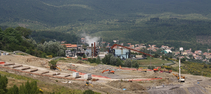
On 25th July 2016, Italian renewables developer Enel Green Power SpA inaugurated its innovative geothermal power plant Bagnore 4, in Tuscany, Italy. Located in the municipalities of Santa Fiora and Arcidosso, near Grosseto, in the Italian region of Tuscany, the plant had been completed and connected to the grid in December 2014. Geotermia sul monte Amiata: va davvero tutto bene? La seconda puntata dell’inchiesta (it)
|
 |
Bagnore, l'Amiata e la geotermia [4]
|
|
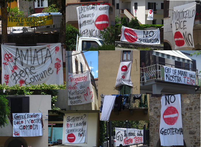 |
Protest signs in Monticello Amiata
|
|
|||||
 |
 |
||||
The house whereì Davide Lazzaretti died[3]
|
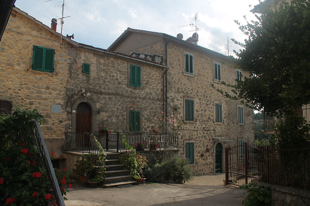
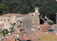
Street in the historical center of Bagnore[3] |
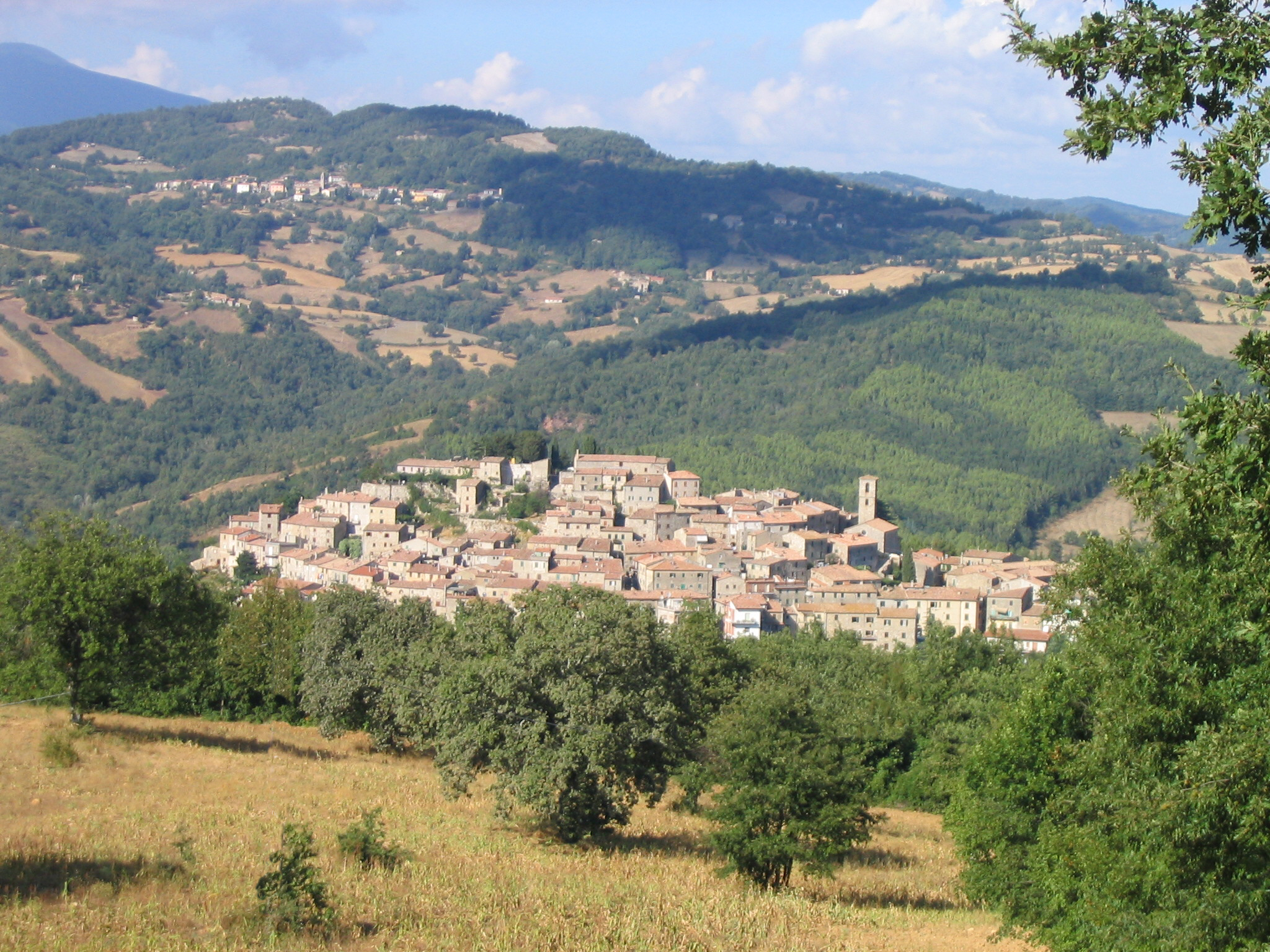
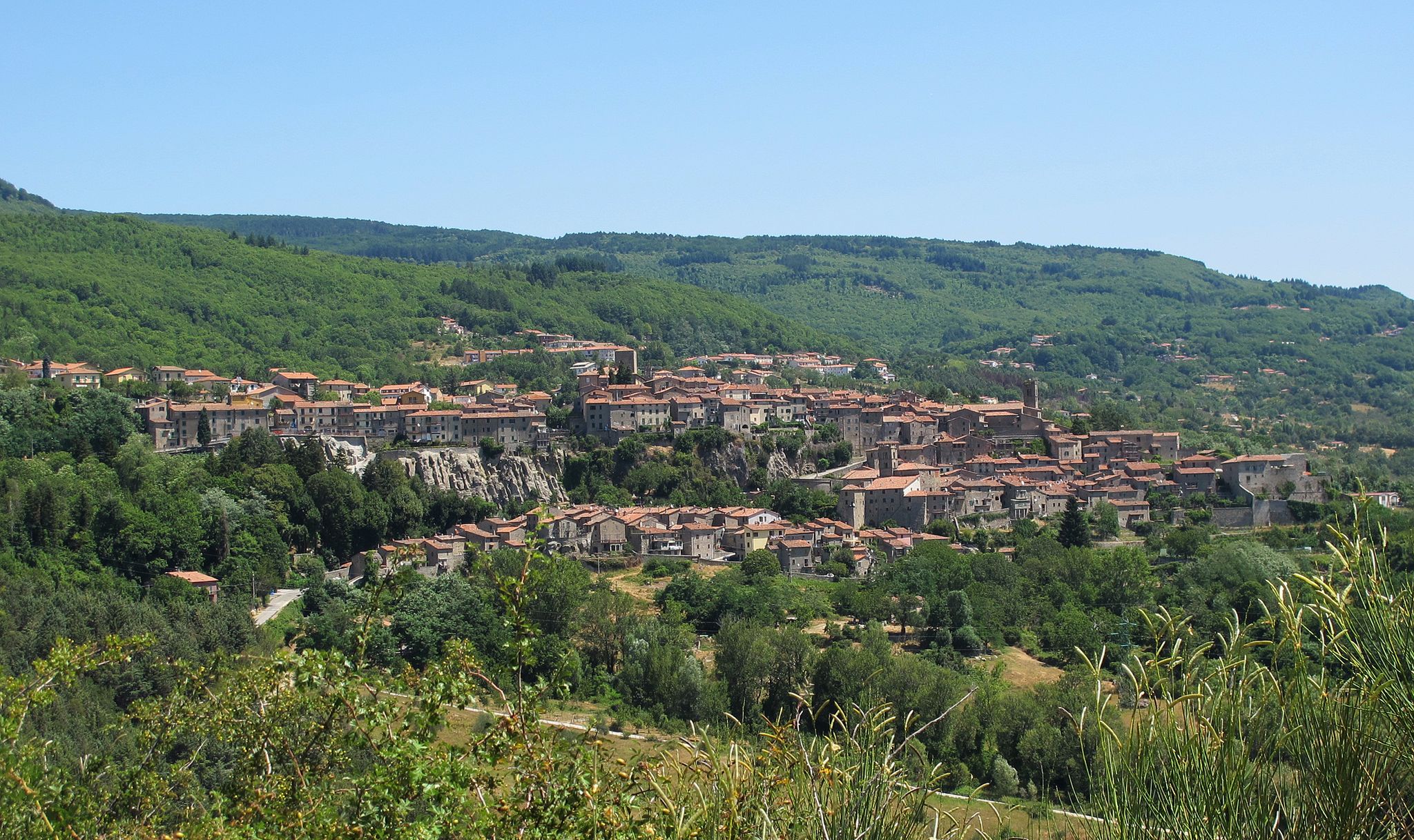
Panorama Bagnore, Santa Fiora |
|||
Santa Fiora
|
|||||
 |
 |
 |
|||
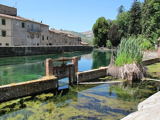
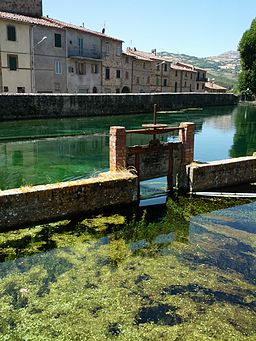
| Santa Fiora | La Peschiera di Santa Fiora
|
Santa Fiora, Peschiera
|
|||
 |
 |
|
|||
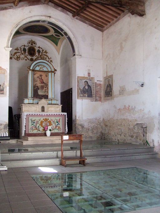
Chiesa della Madonna della Neve- Santa Fiora
|
Interiore della chiesa della Madonna della Neve.Pavimentazione acque trasparenti che mostrano l'origine del Fiora
|
Veduta di Semproniano
|
|||
|
|
|||||
 |
 |
 |
|||
| Sorano, Porta di Sopra | Sorano, veduta
|
Il Masso Leopoldino
|
|||
Distances: Castiglioncello Bandini 2,5 km, Montalcino 34,5 km, Abbey of Sant’Antimo 26 km, Pienza 56,7 km, Montepulciano 70,4 km, Siena 41 km, Seaside 34 km, Florence 144 km, Rome 180 km. |
|||||
 |
|||||
Podere Santa Pia |
Podere Santa Pia |
|
|||
Cycling in Tuscany | Cycling tours in Southern Tuscany Itinerari | Escursione per le vie cave degli Etruschi
Parco Archeologico | Sorano - La regione dei Tufi | www.leviecave.it
|
|||||
|
|||||
Questo articolo è basato sull'articolo Bagnore dell' enciclopedia Wikipedia ed è rilasciato sotto i termini della GNU Free Documentation License.
|
|||||