5 - Journey into the Middle Ages (GR3) - 106.3 km
Starting point and arrival: Sticciano Scalo
Distance in kilometres: 106.3 km
Difference in altitude: about 1.300 m
Type of road: tarred road
Bicycle: roadster and all-terrain
Difficulty: demanding
NOTES: Itinerary of great landscape interest having technical features of high value. Not very busy roads, varying altitude. The last 20 kilometres
without any difficulty. The last stretch of the itinerary, past Ribolla, follows country bypaths therefore it is essential to follow carefully the
pointers describing the itinerary.
STICCIANO SCALO Km 0 - ROCCASTRADA Km 14 - SASSOFORTINO Km 23 - ROCCATEDERIGHI Km 26 - GABELLINO Km 36,3 - MONTIERI Km 45,7 - PIAN DEI MUCINI Km 62 - MASSA MARITTIMA - PRATA Km 68 - TATTI Km 80,4 - RIBOLLA Km 89 - PIAN DEI BICHI Km 92,5 - STICCIANO SCALO Km 106,36
One leaves from Sticciano Scalo and takes the provincial road S.P. 157 in the direction of Roccastrada. One cycles on a level road fringed with a double row of stone-pines. After about 5 kilometres the road starts uphill with good for cycling on slopes, through cork oakes. After 8.5 kilometres the S.P. 157 turns left towards the rise of Roccastrada (on the right the crossroads to the S.P. 46 “Tollero” to Paganico).
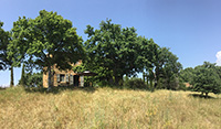
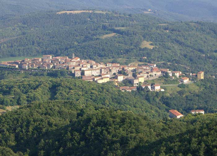
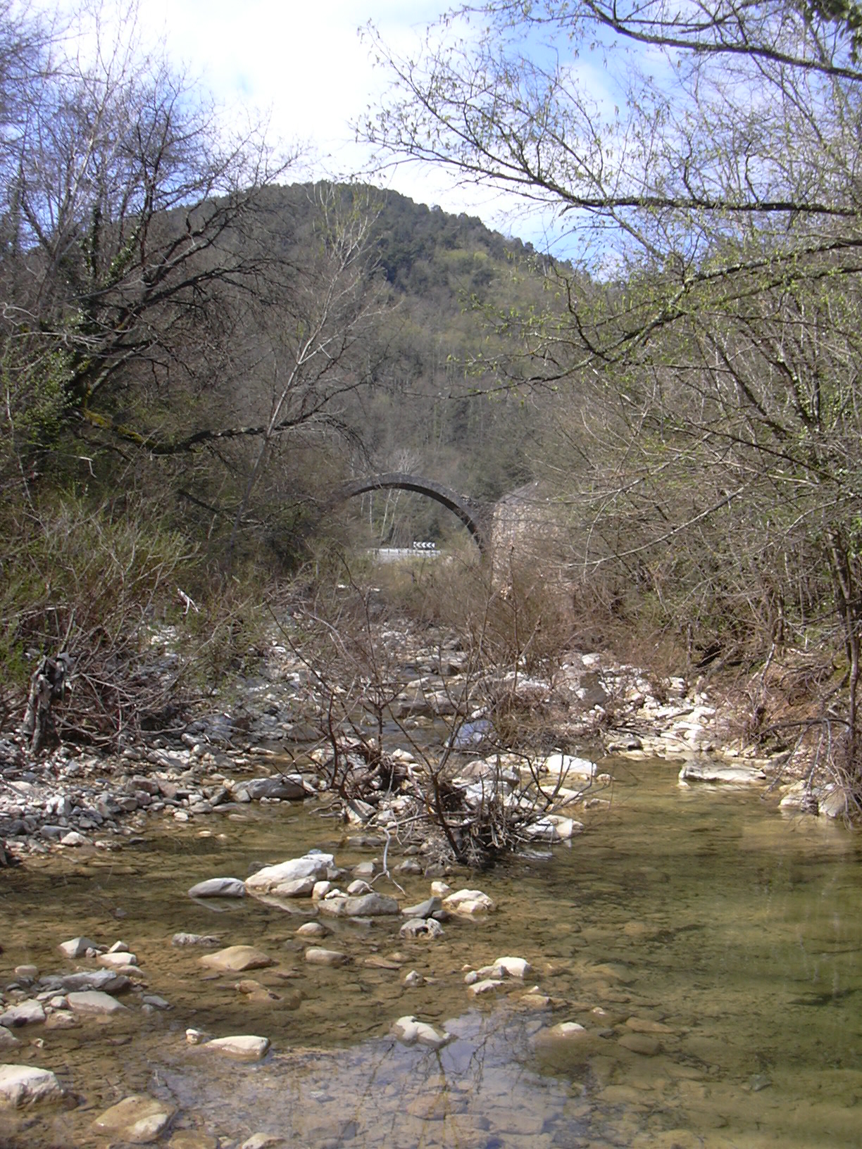
Uphill for another 5 kilometres enjoying the beautiful view towards the coast and reaching the town of Roccastrada as far as the roundabout in the middle of it (13.9). From here the S.P. 157 continues uphill for a pair of kilometres on the crest of panoramic hills. About 3 kilometres after leaving Roccastrada one turns from the S.P. 157 and takes the S.P. 8 “Meleta” on the left, in the direction of Sassofortino and Roccatederighi. Cycling uphill one reaches Sassofortino (560 metres above sea level) and cycles on along a panoramic road mostly downhill as far as Roccatederighi (26) and the next large crossing (28.3) where, keeping on the right, one takes the S.P. 19 to Prata, Montieri and Siena. After the crossing, on the right, one finds the source of the river Farma. The road winds like a snake through shadowing vegetation for 8 kilometres cycling on the level bend as far as Gabellino (36.3) where at the T-crossing one takes the S.P. 162 turning right towards Montieri. From here it is possible to detour to the right to reach the town of Boccheggiano (2 kilometres and 190 metres difference in altitude) or continue for 3.7 kilometres as far as the crossroads to the left to Montieri (40). Past the bridge over the river Merse one cycles on the S.P. 5 starting uphill towards Montieri: 5.7 kilometres and 273 metres difference in altitude. In the village (45.7) one takes the ramp starting on the right side of the Palazzo Comunale and leading up to the road at the rear of the town, as far as the crossing (46.5) with the provincial road S.P. 11 “Pavone”. Here one turns left in the direction of Gerfalco: on the right a beautiful landscape showing the woods surrounding Gerfalco and the overhanging hillock with the Wildlife Reserve of the Cornate. After 3.5 kilometres the detour to Gerfalco (4 kilometres outward and back) is recommended. The itinerary follows the steady and enjoyable descent on the provincial road S.P. 11 for over 6 kilometres to meet the regional road S.R. 439 from where one turns left in the direction of Massa Marittima.
A further descent of 3 kilometres and then further 3 kilometres along Pian dei Mucini as far as its namesake crossing (62.6) where there is a bar-tavern. From Pian dei Mucini one rides on the provincial road S.P. 162 in the direction of Prata. One cycles uphill for about 6 kilometres as far as the viaduct passing by the small town of Prata, which can be seen on the left. After about 2 kilometres (71.8) one turns right on the S.P.54 “Cerro Balestro” in the direction of Tatti, cycling uphill for the first 4 kilometres and then downhill as far as the village about 8 kilometres away. From the centre of Tatti (80.4) one cycles downhill through a very beautiful landscape towards the plain following the road signs to Ribolla and Grosseto on the provincial road S.P. 53, ending at a T-crossing (87.5). Here one turns left and takes the S.P. 31 to Ribolla. After 1.5 kilometres one enters the town of Ribolla and reaches a crossing (89.4) where one turns right towards Castiglione della Pescaia on the S.P. 20. Cycling for 2.8 kilometres one reaches a well defined bend to the right: here one leaves the S.P.. 31 and turns left towards Sticciano on the S.P. 91 “Pian del Bichi”. For about 5 kilometres one cycles on a level road among tilled fields and vineyards with a fair view on the left towards the town of Montemassi. After a short climb through vineyards, before reaching a large farm among centuries old pines, one turns right onto “Via Pian del Bichi” leaving the S.P. 91 “Pian del Bichi” (97.3). The small path skirts the large farm and then turns decidedly to the right through vineyards and a row of young pines while keeping to the main road (after about 1.5 kilometres at a crossroads one keeps to the left) for over 3 kilometres as far as the crossing with the S.P. 19 which one crosses orthogonally to take the S.P. 138 “Monte Lattaia” (100.7). One cycles on it as far as its end about 2.5 kilometres away : at the T-crossing (103.1) one continues on the right on the small path along the main track (avoiding every detour) for a pair of kilometres as far as a small low concrete bridge that turns into a ford by very heavy rains. Shortly afterwards one clears a level crossing and reaches a well-marked T-crossing with the S.P. 157, where one turns right towards the nearby Sticciano Scalo (106.3).