16. Poggio Foco - 29 km
MANCIANO Km 0 - LAGO SCURO Km 3,5 - BIVIO POGGIO FOCO - CAPRIOLA Km 9,4 - BIVIO CAPALBIO - S.P. Km 10,7 - LA CAMPIGLIOLA Km 17 - SANTA MARIA DEL PIANO - ATTRAVERSAMENTO S.P. 32 Km 20,3 - S.R. 74 Km 26,3 - MANCIANO Km 29
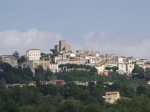
Starting point and arrival: Manciano
Distance in kilometres: 29 km
Difference in altitude: about 350 m
Type of road: hybrid (19.5 km dirt track + 9.5 km tarred road)
Bicycle: MTB and all-terrain
Difficulty: average
NOTES: An itinerary of great value as far as landscape is concerned. Its course stretches across the fine hills and the countryside betweenv Manciano and Capalbio. The initial part of the itinerary is mainly downhill to ascend towards the Manciano hill in its second part. It is easily practicable by mountain bike. The all-terrain with gripped tyres could also be a good choice but it could meet with difficulties in the lower part of the itinerary on the 3 kilometres road skirting Fosso Ripiglio, unless repaired in the meantime. In the case of a roadbed damaged by rain one can continue on foot anyway. The only refreshment stand along this itinerary is at locality La Campigliola, 15 kilometres from the start.
.
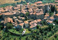
One starts from the centre of Manciano near the large roundabout following the road signs to “ centro” (centre of the town) and “informazioni turistiche” (tourist information). Reaching the nearby Piazza della Pace one takes Via Circonvallazione Sud beginning to leave the urban centre. After 400 metres near the old public weigh-house (roseate building on the left) one turns left taking the Via delle Fonti cycling downhill. One follows the main road crossing a residential area. After 1.2 kilometres one reaches a crossing where one turns left and cycles up a gentle slope. After 300 metres one reaches a further crossroads and turns left once more starting on a dirt track.
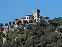
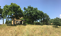
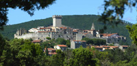
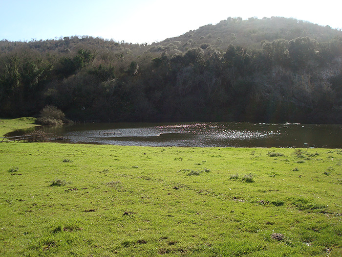
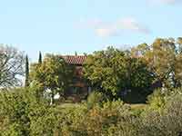
The road large and without any doubt sloping downhill skirts a vineyard on the right fringed with olive trees. Being now outside the urban area the road stretches across the amazing Maremma countryside following the crest line of the hills. One keeps always on the main track avoiding any deviation (at kilometre 2.4 one keeps to the right ignoring the deviation to a farm holidays facility). The dirt track is very easy to cycle on downhill as far as a small bridge (3.2) over a stream. Here one cycles uphill (little spurt of 150 metres) fully immersed in the thick vegetation. Further on the road skirts the Lago Scuro (3.5) and then stretches with marked ups and downs before gently winding as far as a well-defined crossing (4.4) where one turns right taking a large alley fringed with trees and distinguished by a few stretches of ancient flagging. After about 1 kilometre one enjoys great views of a marvelous hilly environment with large clearings, tilled fields and centuries-old oaks. A short while later after crossing a bridge over the stream Elsa one crosses orthogonally a tarred road (6.6) cycling then on a dirt road with the white-red signpost of the track-indicating board. This dirt road is known as Via Vicinale del Lago and crosses a farm. After 1 kilometre one can admire on the right the lake of Poggio Foco and on the left the castle of Scerpena. One fords the stream Elsarella (8.2) and then one negotiates a steep slope uphill of 800 metres followed by gentler slopes towards the rise of the Capriola. One follows the main track turning right passing by a beautiful olive grove. Near a crossing (9.4) with two roads leading to the right one keeps to the left cycling on downhill: from this point the landscape of the Capalbio, Orbetello and Monte Argentario area is amazing. On reaching a T-crossing (10.7) the itinerary continues left while when turning to the right, after 1.8 kilometres, one reaches the tarred road to Capalbio and the coast. From this moment the road surface becomes very damaged and in the case of heavy rains can create some problems, most of all for those riding an all-terrain bicycle, much better for those equipped with a mountain bike. There is no gravel on the dirt road and it is liable to mudslides; it runs with ups and downs parallel to the flow of the stream Ripiglio that, among other things, marks the boundary between the towns of Manciano and Capalbio. After 3 kilometres the road surface becomes better and one reaches the tarred S.P. 67 (14.4) easily. Here one turns left towards Manciano in a continuous and gentle ascent. Past the refreshment stand La Campigliola one leaves the tarred road (17) at the first crossroads on the right (there are no points of reference other than the distance in kilometres: 2.6 kilometres from the point of taking the tarred road). One cycles on the dirt road with its ups and downs and reaches a crossing where one turns left following the larger dirt road and a little later cycling under the high-voltage cables (18.7). Cycling straight on following the main track that slopes gently upward across tilled fields, one skirts a fine vineyard and the town of Manciano appears in the background. Shortly afterwards (20.3), turning left, one reaches the tarred road S.P. 32 (in front of the Cave di Santa Fiora). After 2.8 kilometres (23.1) on a tarred road one turns right onto the bypath crossing the amazingly fine countryside. After about 1 kilometre (24.3) near a crossroads one keeps to the left and cycles on an even road offering long shady stretches. One reaches (26.3) the crossing with the S.R. 74 “Maremmana” at the point where one turns left towards Manciano. The last 2.5 kilometres lead uphill to the centre of the town where the ring closes (29).[1]


